Birds in This Story
Bell's Vireo
Latin: Vireo bellii

Painted Bunting
Latin: Passerina ciris

Yellow-billed Cuckoo
Latin: Coccyzus americanus

Orchard Oriole
Latin: Icterus spurius

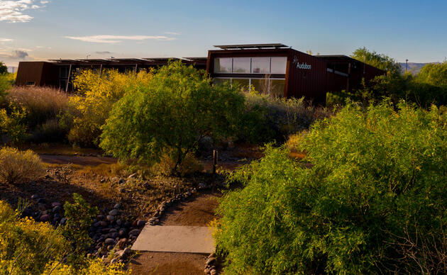
Peoples’ first thoughts of Carlsbad, New Mexico probably aren’t of rivers. They’re of the Permian basin, of an oil and gas boom, or at best, of Carlsbad Caverns National Park. But hidden in southeast New Mexico’s Chihuahuan desert, among oil wells and pipelines, are three rivers: the Pecos, the Black, and the Delaware. These actually converge around a single area near the Texas border, and have remarkably high biodiversity along with being critical resting stops for migrating birds. Audubon designated the Delaware River an Important Bird Area because of the possibility of seeing Bell’s Vireo, Orchard Oriole, Painted Bunting, and Yellow-Billed Cuckoo. Over 118 species of birds have been documented there. The Texas Hornshell Mussel, a federally listed species, is likely to reside in these waters, along with many state-listed species.
For the past seventy years oil and gas development has been occurring in the Permian, and over the last ten the pace has accelerated rapidly, as prices have gone up and drilling has become more efficient with improvements in technologies for hydraulic fracturing. Drilling takes place on federal, state, and private lands, with different laws and regulation applying to each jurisdiction. Most of the land around the rivers is federal land managed by the Bureau of Land Management (BLM).
Whether BLM lands are open to oil and gas development is determined in large, birds-eye-view documents called Resource Management Plans (RMP), which are updated every twenty years or so. These RMPs analyze the land under the BLM’s jurisdiction in a particular area, including its ecological health, and make determinations about which areas will be subject to development, which managed for conservation, which will be grazed by cattle, etc. The Carlsbad RMP hasn’t been updated since 1986, other than two amendments in 1998 and 2008. It never considered crucial modern environmental issues like climate change or the sixth mass extinction.
During an RMP revision, BLM can decide to manage some land for conservation through a number of administrative tools. These designations do not have the force of, say, a Congressional Wilderness designation, which comes with automatic rules about what can and cannot happen within its borders. But BLM can put in place some lesser restrictions about how to manage special areas, including guidance about how oil and gas development occurs, and even preventing development completely in small areas. In 2010 the New Mexico Wilderness Alliance nominated four areas in Carlsbad, including three surrounding the rivers, to be designated Areas of Critical Environmental Concern by BLM, and Audubon has been actively advocating for this as well.
Despite issuing a Draft RMP in 2018, BLM has not finalized the plan, and has not yet made a determination about whether it will designate these special areas and manage them to protect the rivers for birds and other wildlife. Meanwhile, it has continued to lease new lands inside these proposals for oil and gas development and allowed their degradation, jeopardizing their qualification for ACEC designation. The past four years, with the Administration’s focus on “energy dominance” has only accelerated this process faster.
I recently visited some of our ACEC proposals with a reporter for National Geographic, who will be doing an in-depth story on Carlsbad in the coming months. While the rivers are still beautiful, it is hard to ignore the constant truck traffic rumbling through the areas, or the clouds of dust kicked up along the many gravel roads crisscrossing them. Hopefully BLM will finalize a plan that includes the designation of these ACECs before it is too late to save them.