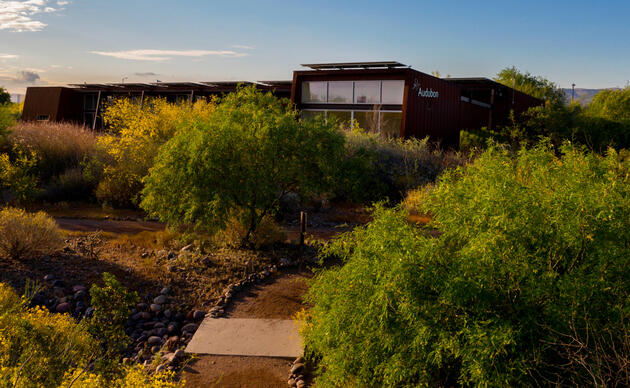
Birds in This Story
Pinyon Jay
Latin: Gymnorhinus cyanocephalus

Osprey
Latin: Pandion haliaetus

Great Egret
Latin: Ardea alba

Cooper's Hawk
Latin: Accipiter cooperii

Sandhill Crane
Latin: Antigone canadensis

American Crow
Latin: Corvus brachyrhynchos

Many of us live along the Rio Grande and consider our river our place, our home, our identity. Whether we live in South Fork, Colorado, Palomas, Mexico, or Brownsville, Texas, this river runs through our blood, our heart, our well-being. As we are intimate with the trees, the sand, the birds, the farms and the cities alongside our beautiful river, we are equally aware of the dry river, thickets of salt cedar, stressed farms and international barbed wire boundaries that mar the once vibrant corridor. Depending on where you hail from in the Basin, this balance of beauty and heartbreak is skewed towards either end of the spectrum; in some reaches the Rio’s beauty is a present-day solace, in others a distant memory.
Through restoration projects I have developed a deep appreciation for the natural history of the Rio Grande. In designing projects, I have learned to work with the historic processes and ecology as a blueprint for pushing a landform back towards its naturalized condition. This is largely an exercise of fixing the unfixable since the majority of the formative processes have been disrupted beyond repair. Herein lies a wish for the return of a wild past or a better future or, as the author Charles Bowden coined it, a “memory of the future”. This memory of a wild and beautiful Rio Grande comes alive for me in certain places, windows where the Rio Grande shouts out “I’m still here!”. I offer this list of some of the places that I have come to cherish in my 3 decades+ love affair with this broken river in north-central New Mexico. All are publicly accessible though some require a boat, others a high clearance vehicle. Look for easter egg hyperlinks throughout the following travel guide. Happy and safe trails good people!
Where the Red River meets the Rio Grande: The Red River confluence with the Rio Grande can be accessed from Cebolla Mesa or the Wild Rivers section of the Rio Grande del Norte National Monument. The trail from the Wild Rivers section has been under construction and may be closed (check with the BLM); the road into Cebolla Mesa trail requires a high clearance vehicle. From Cebolla Mesa it’s a 1 mile drop into a yet-to-be-tamed river, with high water wood debris lines, Cutbow Trout, Ospreys, Pinyon Jays and mountain sheep. The Red River, prior to capture of Lake Alamosa between 400,000 and 250,000 years ago, was the headwaters of the Rio Grande.
Los Luceros Historic Site: The Los Luceros Historic Site, a Spanish settlement along the Rio Grande near Alcalde, New Mexico, is a hidden gem. The site contains numerous historic buildings including a small church as well as a 5700 square foot Hacienda whose first floor doors were opened during spring floods to allow Rio to flow through the building, preventing erosion. The multi-aged cottonwood gallery is remarkable, especially during the golden days of autumn.
The Rio Grande just north of Lake Cochiti: This location requires a boat, preferably a low draw boat such as a sit-on-top kayak or a light canoe since the upper end of the Lake can be quite shallow. There are few places on the Rio Grande that contain the riparian complexity of old. Historically, the Rio Grande was very dynamic and had a complex riparian forest that was constantly regenerated through flooding. This forest had multiple age classes of trees and shrubs, grassland meadows and wetland habitats, a mosaic of habitat types. The Rio Grande upstream of Lake Cochiti has many of these characteristics, largely due to the dynamic nature of the Rio as it enters into the lake. Witness the diverse birds, dense forests, and beautiful canyon by paddling the river upstream 1-2 miles from the lake. This is best done during lower flows, when the Otowi Gage is less than 750 cfs.
Rio Grande from Siphon Beach (north Corrales) to Alameda Drive (Albuquerque): If you are interested in dipping your toe into boating the Middle Rio Grande, this is a great entry point. This 8-mile float contains beautiful views of the Sandia Mountains and bosque habitat, and is often flush with Cooper’s Hawks, Great Egrets and American Crows. The best level, using the Rio Grande at Albuquerque Gage, is when flows are above 800cfs. Please wear your life jackets and be careful around bank lines where jetty jacks lurk. Jetty jacks are Normandy-era engineered steel jacks that entrain the river and lock the bank lines in place, a horrific remnant of the hyper river engineering associated with the middle part of the 20th century. Plan on 5 hours of floating time plus shuttle logistics.
San Acacia to San Antonio: The Save Our Bosque Task Force has been hard at Rio Grande restoration and protection since 1994. They have developed and maintained a series of riverine parks from San Acacia to San Antonio, accessible by driving the river levee road from San Antonio (high clearance vehicle recommended). These parks give nice access to the Rio in one of its more wild and naturalized conditions within the Middle Rio Grande.
Bernardo Wildlife Management Area: The crane is out of the bag; the Bernardo Wildlife Management Area is the winter home to the highest concentration of Sandhill Cranes in the Middle Rio Grande Valley (a spot once held by Bosque del Apache NWR). Over the past 5 years, the State has done an amazing job at restoring the salt grass meadows and marshes of the property, a type of habitat that requires a shallow groundwater table. Salt grass habitat historically made up roughly 30% of the land cover within the Middle Rio Grande, where today is limited to less than 5% due to riverside drains that have dropped the water table. Between early November through late January, visit early or late in the day to see the birds move and witness a spectacle on par with the pyramids of Gaza!
Bosque del Apache NWR: Early on in my career I had the good fortune to work closely with John Taylor at Bosque del Apache NWR. From the mid 1980’s to his untimely passing in 2004, John developed strategies to restore a mosaic of bosque habitats on the Refuge through diesel power and creative water management. John utilized historic information including imagery, documents, and hydrologic data as a guide for habitat management on the Refuge. The result was, and is, the closest proximity to what the entire Middle Rio Grande looked like pre-development. From the east side of the southern tour loop, find a spot with meadows and wetlands and squint your eyes so that roads and levees become obscured. Herein you gaze into the Rio Grande of old and John Taylor’s insightful and majestic vision.
San Marcial: If you ever want to wander into the outback of the Rio Grande and step upon a once flooded lore-rich town, head on down to San Marcial. Despite the rampant salt cedar forests in the area, and river engineering features such as the Low Flow Conveyance Channel, the views of Black Mesa and the Rio Grande habitat speak to a wild past. Well maintained gravel roads make this place accessible to all vehicles. The town of San Marcial was leveled by floods in the late 1920’s, as memorialized in this Corrido de San Marcial.